
Walnut Creek Street Directory Workflow
An address search is a chain of evidence, not a promise of a name at every door. In Walnut Creek, the parcel links the street to county records. Owner, mailing addressee, permit applicant, voter, listed subscriber, and resident are different roles. A sound address guide labels each one.
- Preserve the address. Keep the unit, compass prefix, street type, ZIP, and original spelling. Decide whether it is city or county territory.
- Make the parcel key. Run the address through ParcelQuest and CCMap. Record the APN, situs context, adjoining parcels, and map date. Owner names are absent from web products.
- Resolve the roll identity. Use the Assessor counter when current owner or mailing information is needed. Neither proves occupancy.
- Walk the deed chain. Search the current owner as grantee in RecorderWorks. Note number, date, parties, legal description, and APN or map, then search the grantor earlier.
- Add listed-person evidence. Use an approved voter file only for its permitted purpose. Compare 1949–1950 telephone pages, census through 1950, newspapers, probate, and obituaries, labeling each clue.
When the question narrows from a street to one named person, the Walnut Creek resident lookup guide is the better next step because it treats identity verification as its own record problem.
Walnut Creek CCMap Street Parcels
CCMap turns a street question into a parcel question. County documentation supports address navigation, outlines, APNs, building square footage, lot size, downloadable assessor maps, aerials, contours, and radius capability. Property Research adds general plan, zoning, creeks, schools, and fire stations. These layers provide context, not a survey.
Locate the target, zoom to the outlines, record the APN, and inspect parcels north, south, east, west, and across the road. Use adjacency only as a clue. The county documents a $50 radius product at the Assessor counter, not a household list. Exact live widget labels and popups were not captured, so no unverified controls are described.
Walnut Creek ParcelQuest Street Fields
ParcelQuest Lite is the county-endorsed route for an APN or street-address search. County documentation supports parcel maps, assessed values, and house details, while the research confirms that owner-name searching is not an Internet option. The table lists only verified routes and outputs.
| Portal or route | Verified field or action | Supported result | Do not assume |
|---|---|---|---|
| ParcelQuest Lite | APN | Parcel maps, values, house details | Owner-name web search |
| ParcelQuest Lite | Street address | County-documented address lookup | Uncaptured labels or export limits |
| CCMap | Address navigation or search target | Parcel outline and context | Uncaptured widget label |
| CCMap | Parcel click and APN context | Size, lot, map PDFs, aerials, contours | Survey-grade boundary |
The free web view is a first pass. The Assessor counter at 2530 Arnold Drive, Suite 100, Martinez, provides public-roll inspection and routing at 925-313-7400 on weekdays from 8 to 4. Reported charges include $3 per map page, $1 per property-printout page, $7.50 per characteristics parcel, and $50 for a radius search. Mailing can add a charge.
The county's ParcelQuest Lite address and APN search is the documented entry point for the fields above.
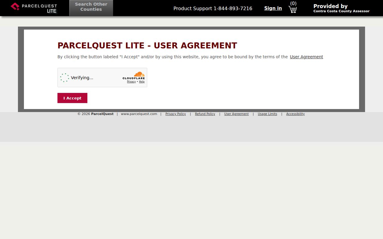
Use the screen to locate a parcel, then move to the roll or recorded document when the question calls for ownership or legal identity.
Walnut Creek Street Address Terms
Address words can look interchangeable until a record chain breaks. In Walnut Creek, each field needs its own label. The APN is a cross-system key that can change after a split or merger. The deed's legal description remains the land identity even when a street string changes.
Address vocabulary. Read every field as evidence about a different part of the parcel record.
- Parcel
- Assessor and map unit tied to an APN; a record object, not a household.
- Situs address
- The parcel's physical location.
- Mailing address
- Assessment correspondence destination; it may differ from the situs.
- Legal description
- Deed land identity, often lot, block, subdivision, or metes and bounds.
- Plat
- Recorded map bridging lots, blocks, subdivisions, and later street labels.
- Criss-cross directory
- Reverse address or street listing that may show a year's subscriber, not everyone there.
The county's ParcelQuest disclaimer is worth reading beside the map because mapped parcel lines do not replace a legal description.
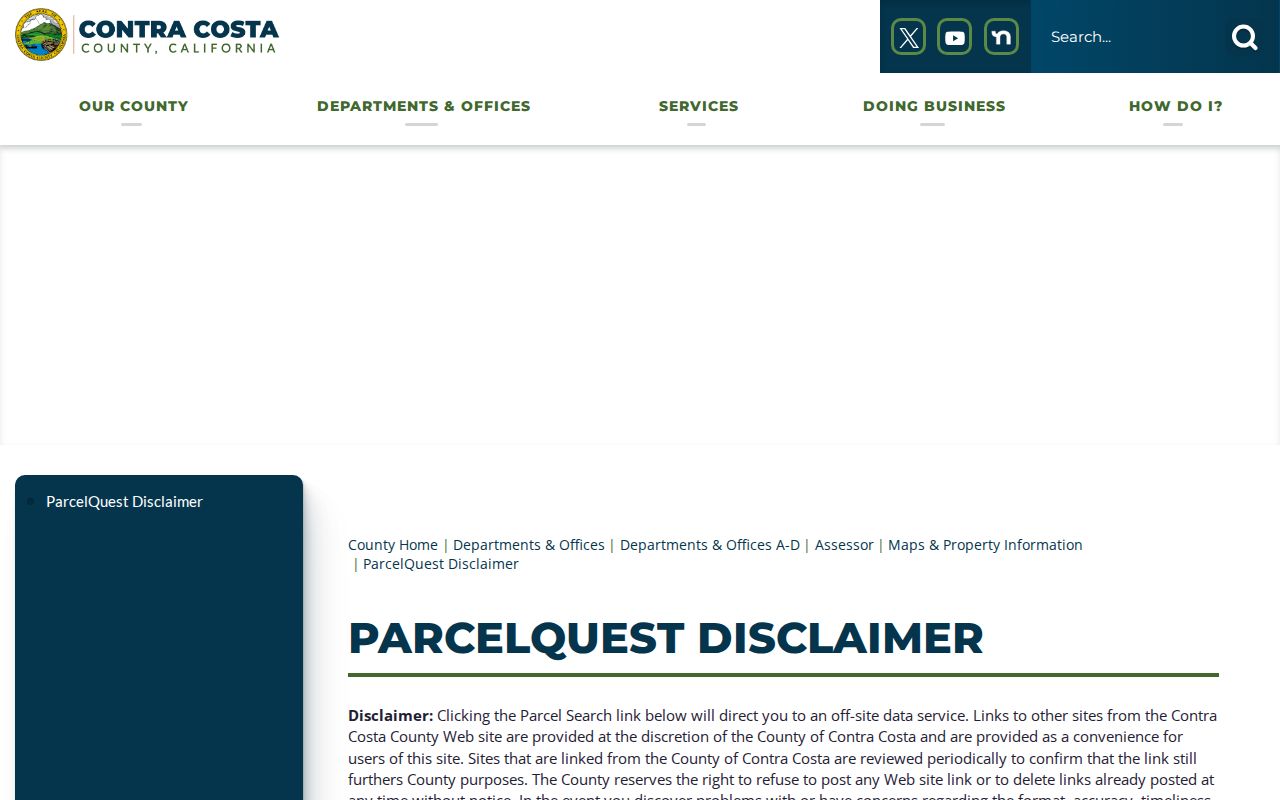
A homeowners' exemption may corroborate principal-residence use without proving who lives there. Keep roll, map, and deed claims separate.
Walnut Creek Street Directory Records by Address
One address can touch several custodians, but no office produces a complete household roster. This table shows each record set's contribution and access boundary.
| Record set | Custodian | Street-facing evidence | Access boundary |
|---|---|---|---|
| Assessment roll | Contra Costa Assessor | APN, situs, ownership, mailing, values, characteristics | Limited web detail; public owner information at the counter |
| Parcel geometry | CCMap | Outlines, APNs, spatial neighbors, and map layers | Free web viewer; lines are not surveys |
| Deeds and maps | Contra Costa Clerk-Recorder | Grantor/grantee, recording date, legal description, document number, map references | RecorderWorks index, copies, or counter request |
| Tax record | Treasurer-Tax Collector | APN, assessment and payment information | Web or counter; not proof of occupancy |
| Permits and code | Walnut Creek or county custodian | Public project parties, scope, dates, and code-case material where available | Jurisdiction and exemptions control; not a household roll |
| Voter file | California SOS / Contra Costa Elections | Address-level registration in an approved project | Restricted; no public street list |
| Historical listings | Library, CCCHS, NARA or HeritageQuest | Listed subscriber or enumerated household by year | Microfilm or images; omissions are common |
The APN can tie parcel work to a deed or permit, while the legal description confirms the land. A street name alone is weaker because RecorderWorks is indexed by party and metadata. Voter files have a statutory gate, and historical listings show only the people recorded by that source and year.
Walnut Creek Deed Records
RecorderWorks answers a different question from CCMap. It is a party and document index, so turn the address into an APN and current roll identity first. Its documented modes are Name, Document Number, Book and Page, Recording Date, and Document Type. Name searches use last name, a space, first name; partial matching is optional, and date pairs use MM/DD/YYYY.
The Contra Costa Clerk-Recorder services gateway is the county route for recorded-document services and ordering.
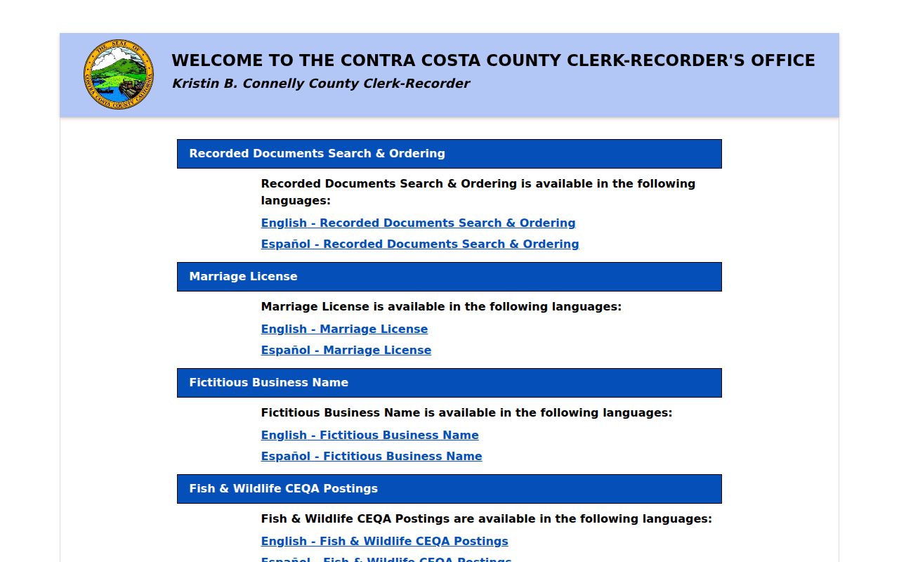
Once the parcel and owner are resolved, use this chain:
- Search the current owner as grantee and open the document entry. Note date, parties, legal description, APN, map reference, and transfer statement.
- Search the seller or grantor as an earlier grantee. Preserve the exact spelling of a trust or entity.
- Use date range and document class to reduce common-name noise. Partial matching can widen results.
- Classify the instrument. A grant deed or quitclaim may transfer an interest; a deed of trust secures a loan; a reconveyance releases it; a lien, release, map, notice, or agreement may not change ownership.
The RecorderWorks index is the more specific search route for party, date, book-page, number, and type work.
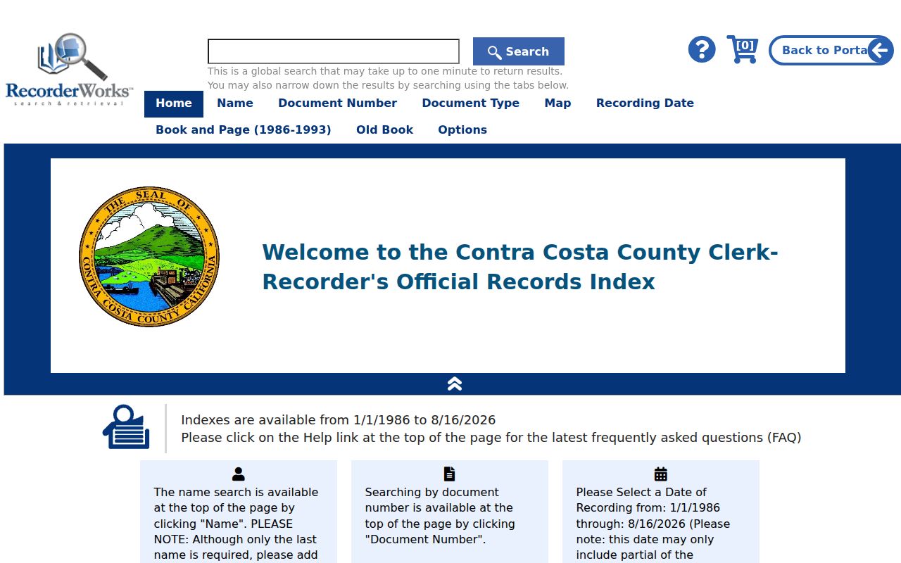
The official material did not establish an online cutoff, full image history, or every copy price. When the index ends or the legal description needs confirmation, use the counter and grantor/grantee books.
Walnut Creek Street Permit Records
Permit and code records add a time-stamped project layer to an address. Walnut Creek is all-online for new building applications, paper and email applications are no longer accepted, and applications from January 1, 2026 use the 2025 Building Code. Permit Administration keeps applied, issued, expired, and canceled permits. A public file may name project parties and scope dates, but not every occupant.
Code Enforcement handles unpermitted work, zoning, signs, fences, and nuisance matters. That is agency evidence, not a household roll. Current anonymous historical-search fields, result limits, and public attachments were not verified, so do not promise a complete free address history.
- City permit
- Status can place a physical project in time; it does not establish residency.
- City code case
- Read category, responsible party, scope, and date where released; exemptions can apply.
- County ePermits
- For unincorporated territory, permit and application history begins January 1, 1980; plans require a request.
Jurisdiction matters because a Walnut Creek postal label can cover Saranap, Northgate, the Pleasant Hill BART vicinity, or parts of Walnut Heights outside the incorporated city. A city file may correctly report no record for a county parcel. Check the parcel and boundary context before treating a missing permit as evidence that no work occurred.
Walnut Creek Street Directory History
Current parcel evidence and historical listings answer different time questions. Walnut Creek Library supplies microfilm and genealogy databases; CCCHS holds assessor books, maps, newspapers, probate, and indexed historical cases; the Library of Congress preserves a free 1949–1950 Contra Costa telephone-directory scan. It is a listed-subscriber source, not a complete resident list.
| Source | Verified local span | What it adds to a street search |
|---|---|---|
| CCCHS assessor books | 1850–1910 | Annual owner, property, and tax context |
| LOC telephone directory | March 1949–September 1950 | Subscriber surname, given name or initials, address, and phone |
| Local newspapers | Selected 1930–1972 runs; 1996+ database | Obituary, social, and address-transition clues |
| Federal census | Through 1950 | Enumerated households every ten years; the county's 1850 schedule is lost |
Walnut Creek begins around image 60. Entries put surname first, then given name or initial, an r residence mark, a street or locality, and a telephone number. Household composition, spouse details, and a full ownership marker generally do not appear. Check OCR against the scan, especially for older spellings.
For a fuller guide to the historical shelf, use the Walnut Creek city directory collections page; return here when the research needs to connect a historical listing to a present parcel.
Walnut Creek Street Name Puzzle
Walnut Creek has a continuity trap that can make a sound search look empty. Downtown Walnut Avenue later became Trinity Avenue after another Walnut Avenue off Ygnacio Valley Road entered city limits. The catalog did not establish the exact year. Search both names, retain the old string, and use subdivision, assessment, and historic zoning maps before treating records as different land.
The city incorporated on October 21, 1914 with about 500 acres, then expanded through roughly 400 annexations to nearly 20 square miles. A 1949–1950 page may carry an unnumbered road or locality from before a subdivision. Lot, block, subdivision, and legal-description references bridge that gap.
Walnut Creek Street Directory Voter Limits
California's registration-status gateway is an individual self-check, not a public name-and-street roll. Elections Code §2194 allows voter information for approved election, scholarly, journalistic, political, or governmental purposes, while barring personal, private, or commercial use, harassment, marketing, and unauthorized Internet display. An approved file remains restricted.
Individual status gateway. It routes an individual check and cannot enumerate a block.
Approved voter file. It may contain address-level registration and participation fields. An application must state purpose, scope, safeguards, storage, and no unauthorized transfer.
Protected information. Government Code §7924.000 protects home address, phone, email, precinct, prior-registration details, identifiers, and signature except by authorized release. Participation never reveals ballot choices.
Protected officers and Safe at Home participants are excluded or substituted. A missing result is not proof that an address is empty; label the limit and rely on the parcel, deed, permit, or historical record that answers the question.
Walnut Creek Street Directory Limits
A careful address review still has a hard edge. Property tools do not name non-owners or household members. Utility, delivery, and DMV address data are restricted, private association lists may be gated, and protected, sealed, or confidential fields stay outside an ordinary search. An owner, mailing addressee, or permit applicant is not automatically a resident.
These limits prevent a map, deed, or listing from being stretched beyond its source. Verify land with the Assessor or Recorder, projects with the proper permit custodian, and history with the Library or CCCHS.
Contra Costa's Real Estate Fraud Unit provides a county reporting route for property-fraud concerns.
Compare unsolicited instructions with the official domain and published fee before sending money or personal details. Keep the search tied to the real custodian.
Lawful personal use. Address records can support family history, property research, reconnecting, and civic study. Do not use them to stalk, harass, intimidate, or place a person in fear. Penal Code §646.9 addresses willful, malicious repeated following or harassment with a credible threat, and Code of Civil Procedure §527.6 provides a civil-harassment-order process. Voter data carries the additional restrictions in Elections Code §2194.