
Walnut Creek ZIP Code Coverage
USPS supports four ZIP codes for Walnut Creek postal territory. The rows below are delivery anchors, not a resident list. The same ZIP can include incorporated and unincorporated parcels, so a ZIP code directory should always be paired with parcel and jurisdiction checks.
| ZIP Code | Areas Covered | Post Office | Notes |
|---|---|---|---|
| 94595 | Tice Valley, Rossmoor, Newell Avenue | Walnut Creek Sorting and Delivery Center | Walnut Creek label; verify parcel jurisdiction |
| 94596 | Downtown, Civic Park, North Broadway, Main, Mt. Diablo core | Walnut Creek Sorting and Delivery Center | City hall, library, and core post office context |
| 94597 | Larkey Park, Buena Vista, First Avenue, Pleasant Hill BART vicinity | Walnut Creek Sorting and Delivery Center | Some postal territory is outside city limits |
| 94598 | Heather Farm, Northgate, Shadelands, Arbolado, Boundary Oak | Walnut Creek Sorting and Delivery Center | Northgate includes unincorporated portions |
A 2025 USPS notice groups these four ZIPs under the Walnut Creek Sorting and Delivery Center at 2070 N. Broadway, 94596. The change does not close retail or PO Box service. No Walnut Creek ZIP was verified as a unique or PO-box-only ZIP, and no ZIP-wide resident portal was verified.
ZIP 94595: Walnut Creek Rossmoor
ZIP 94595 anchors the Rossmoor and Tice Valley side of Walnut Creek, with Newell Avenue also appearing in the postal geography. Rossmoor’s mutual structure is useful for identifying governing units, but a mutuals directory is not a resident roster. A postal match should lead to a parcel check, not an assumption about a person or city service.
The Rossmoor mutuals directory is a clear example of the difference between an organization directory and a resident directory.
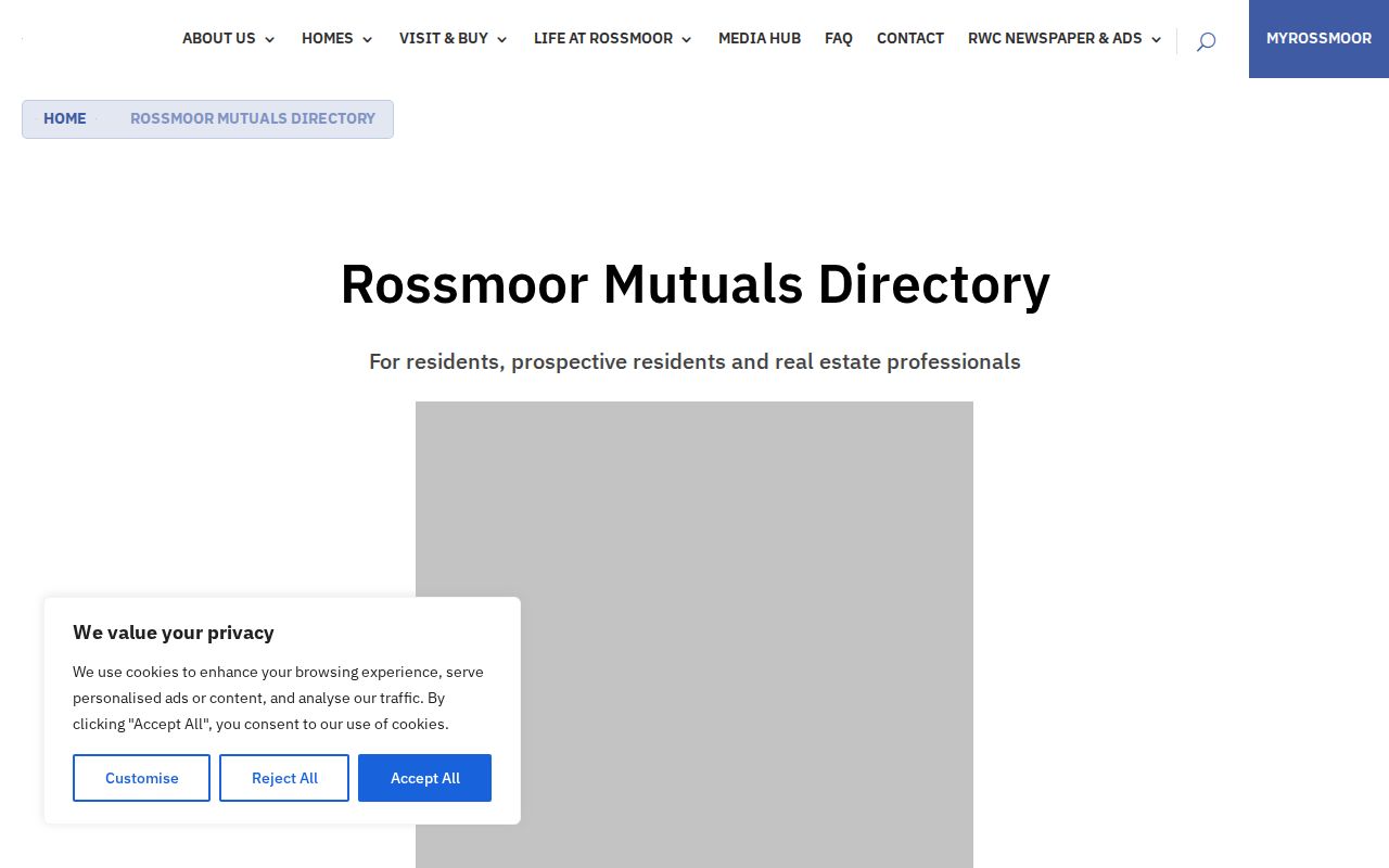
Its governing-unit information can route a question to the right organization, while parcel, deed, or city records answer a different question.
For an older 94595 question, local newspaper runs and CCCHS city or town folders can add context to Rossmoor or Tice Valley. Current ownership and assessment questions still return to county systems, regardless of the postal label.
ZIP 94596: Walnut Creek Downtown
ZIP 94596 centers on downtown, Civic Park, North Broadway, Main Street, and the Mt. Diablo corridor. City Hall and the Walnut Creek Library make this ZIP useful for municipal, newspaper, and genealogy research, but title and assessment questions still belong to county offices. Use the postal label to narrow the place, then confirm the parcel and custodian.
The 1950 Census Contra Costa search provides historical household context for a dated research question rather than a current ZIP roster.
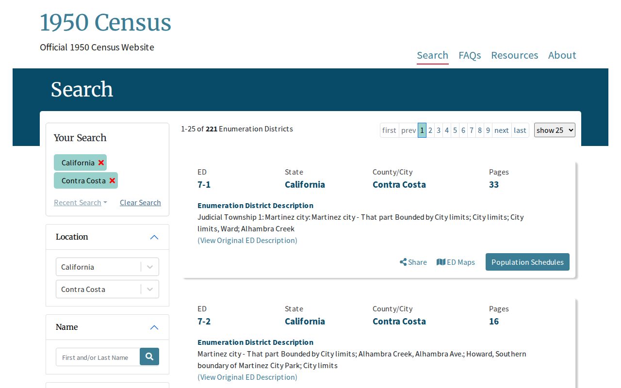
The census image belongs beside directories and newspapers because historical census geography and modern postal geography are not identical.
Downtown names also shift across record types. A newspaper may use a neighborhood or street description, while a current parcel search expects an address or APN. Keep the source wording before normalizing it.
ZIP 94597: Walnut Creek BART Edge
ZIP 94597 includes Larkey Park, Buena Vista, First Avenue, and the Pleasant Hill BART vicinity. The BART-area label is the key boundary warning: a Walnut Creek postal address may sit in county territory. Check the parcel before choosing city permits, code records, or county land-use files. Postwar transportation and BART-era changes can also matter when tracing an older address.
If a permit search returns nothing, test the county route before treating the address as record-free. Jurisdiction can change by annexation date, while the ZIP remains the same.
ZIP 94598: Walnut Creek Northgate
ZIP 94598 reaches Heather Farm, Northgate, Shadelands, Arbolado, and Boundary Oak. Northgate includes unincorporated portions, so a shared ZIP can lead to different permit and zoning custodians. Pair CCMap parcel context with the city’s historical zoning material before treating a neighborhood name as a city boundary.
Later annexation and subdivision records may matter more here than an early directory entry. Preserve the ZIP, situs, city label, and APN as separate fields.
The historical zoning sequence includes maps from 1931, 1946, 1949, 1954, 1959, 1973, 1985, 1993, 1996, 1998, 2001, 2004, and 2009 to 2022. Those dates can help place a parcel in its municipal context when a modern ZIP search is too broad.
Walnut Creek ZIP Record Search Reality
No inspected Walnut Creek portal offered a verified ZIP-wide resident filter. The safe workflow is address-based: confirm the delivery ZIP, resolve the parcel, then select a record custodian. California’s voter status tool is a self-check, not a public ZIP or street roll, and the county’s property products suppress owner names online.
| Documented route | Input or scope | What remains unverified |
|---|---|---|
| USPS ZIP Code Lookup | Exact address for delivery ZIP verification | Not a parcel or resident search |
| ParcelQuest Lite | Street address or APN | No verified ZIP-wide filter; owner names omitted online |
| CCMap | Address or APN navigation and parcel context | Widget labels and ZIP filter not text-verified |
| SOS registration status | County routing for an individual self-check | No public ZIP roster; local fields were blocked |
- Verify the exact address and five-digit ZIP through the postal lookup.
- Use address or APN search in ParcelQuest Lite or CCMap.
- Check city or county jurisdiction before requesting permits or code files.
- Use an approved voter-file route only for a qualifying purpose.
- When a ZIP narrows to one street, follow the Walnut Creek street directory workflow.
An official downloadable city parcel inventory can contain a ZIP field if the dataset says so, but that does not turn it into a people portal. Do not fill an unverified ZIP filter with guessed results.
For an administrative record that is not posted, send a precise city or county CPRA request naming the department, address or APN, date range, and record class. The agency’s ten-day determination rule does not create a ZIP resident list or replace court access rules.
Walnut Creek ZIP Boundaries and City Limits
Walnut Creek postal territory includes Saranap, Northgate, the Pleasant Hill BART vicinity, and parts of Walnut Heights that can lie outside incorporated city limits. USPS delivery geography answers where mail goes. Municipal boundaries answer which city or county office holds a permit, zoning, or code record. A mailing city is not proof of jurisdiction.
Boundary check. Verify the parcel and municipal line before calling an address a Walnut Creek city record. A ZIP label alone cannot settle that question.
- ZIP versus ZIP+4
- A ZIP identifies a broad delivery area; ZIP+4 narrows sorting to a smaller route or delivery segment.
- PO-box ZIP
- A ZIP assigned for post-office boxes may identify a mailing point, not a home parcel.
- Unique ZIP
- A ZIP reserved for one institution or organization rather than a broad neighborhood.
- Carrier route
- A postal delivery route within a ZIP, not a city boundary or public resident list.
Walnut Creek Annexations Behind ZIP Pockets
Walnut Creek incorporated on October 21, 1914 with about 500 acres. Roughly 400 annexations later added about 12,175 acres, bringing the city to nearly 20 square miles. Only 25 annexations exceeded 100 acres and many were under ten. That piecemeal growth helps explain why a postal area, neighborhood name, and current city line can diverge.
Downtown Walnut Avenue later became Trinity Avenue after another Walnut Avenue entered city limits; the exact rename year was not located. For historical work, record the address name used at the event date, then check subdivision maps, historical zoning maps, and annexation ordinances. Engineering Services at 925-943-5839 routes annexation, survey, subdivision, lot-line, and right-of-way questions.
Walnut Creek ZIP Jurisdiction Routing
After the postal check, route the question by record type. A city parcel may lead to the City Clerk’s public-records process or Community Development. An unincorporated parcel leads to county Planning or ePermits. Countywide ownership, deeds, and assessment questions remain with Contra Costa offices even when the postal label says Walnut Creek.
- Save the original address, unit, city label, ZIP, and USPS result.
- Resolve an APN and compare the parcel with the city or county boundary.
- Choose city records for municipal jurisdiction and county records for title or assessment.
- For unincorporated work, note that county ePermits documents permit history from January 1, 1980, while plans and documents require a records request.
Historical zoning maps from 1931 forward, subdivision maps, and council annexation records bridge changes across time. A Walnut Creek ZIP code directory should preserve that postal fact separately from parcel and jurisdiction facts. A prior address may need a different custodian than the same site today.
Walnut Creek accepts new building applications online, and applications from January 1, 2026 use the 2025 Building Code. That municipal rule belongs to city permitting, not to USPS delivery geography.
Walnut Creek ZIP Verification Comparison
Different tools answer different questions. The comparison below keeps a postal result from being mistaken for a parcel or person result.
| Source type | Best evidence | Limit |
|---|---|---|
| USPS address lookup | Deliverable address and ZIP | Not a city-limit, parcel, or resident record |
| County parcel systems | Address/APN, parcel context, assessed property facts | Owner names omitted online; parcel lines are not surveys |
| Commercial people-information category | Possible leads assembled from mixed sources | Can lag or mismatch; never overrides official restrictions |
The USPS ZIP Code Lookup is the right first check for a deliverable address.
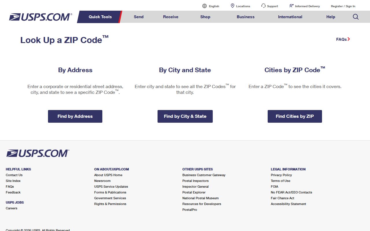
Its result should be paired with parcel and jurisdiction evidence before a ZIP-based record claim is made.
- Keep the USPS ZIP as the postal fact.
- Keep the APN and situs as parcel facts.
- Keep the city or county custodian as the jurisdiction fact.
- Call a person a resident only when the record and date support that description.
The comparison also protects against false certainty: a postal match may be exact for delivery while still being too coarse for a deed, permit, historical household, or lawful person-level question.